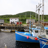
In about 1997 the Canadian Government invested money in a road. It was to be of /asphaltgravel to cross the province and allow truck access to the few cities in Labrador; Labrador City of course, but also Happy Valley-Goose Bay, eventually Port Hope Simpson and Cartwright on the east coast.
The connections between the larger population areas are now built and available for transport. As of 2014 there are no plans to totally pave the highway, but it is graded yearly. Parts of the road are kept open year round for transport, but tourists are also beginning to use the TLH. (The Trans Laborador Highway) Motorcyclists have written blogs about their experience crossing Labrador and even some campers and camp trailers have used the highway.
Can one see what Labrador looks like from the TLH?
Well, yes and no, as you will see in our pictures. There are huge areas in Labrador, much of the east coast, for which travel is only available by Coastal Ferry. On a map one would see the smaller First Nation towns up the east coast which the ferry visits with supplies regularly.
 |
| Construction is ongoing and immpressive! |

 |
| Built nice and straight whenever possible |


 |
| Supposedly caribeau like to eat this lichen |

 |
| A town of road workers |

 |
| We were able to walk quite near to these falls |




 |
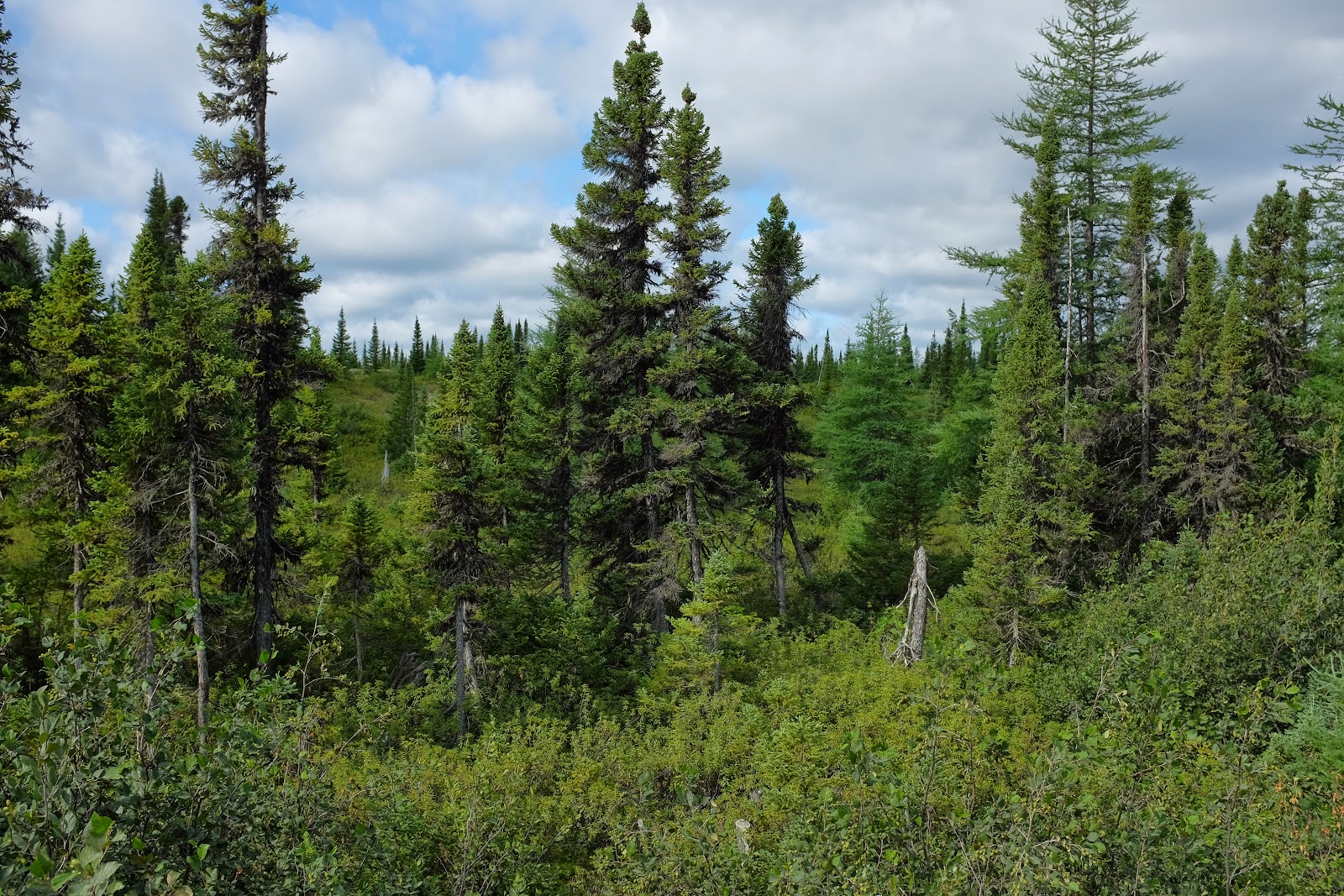
| Dust cloud when a truck comes by or even a car. |
In the much larger acreage to the north there are lakes, rivers mountains and there is the Torngat National Park, a huge area described below accessible by small planes or seaplanes. There are outfitters; hunters, fishermen, guides that know parts of these areas, but the typical tourist could not visit here totally independently. The tourists fly in on private charters to Happy Valley-Goose Bay or Nain and meet a tour guide. Information below from http://www.pc.gc.ca/eng/pn-np/nl/torngats/index.aspx
TORNGAT
From the Inuktitut word Torngait, meaning “place of spirits,” the Torngat Mountains have been home to Inuit and their predecessors for thousands of years. The spectacular wilderness of this National Park comprises 9,700 km2 of the Northern Labrador Mountains natural region. The park extends from Saglek Fjord in the south, including all islands and islets, to the very northern tip of Labrador; and from the provincial boundary with Québec in the west, to the iceberg-choked waters of the Labrador Sea in the east. The mountain peaks along the border with Quebec are the highest in mainland Canada east of the Rockies, and are dotted with remnant glaciers. Polar bears hunt seals along the coast, and both the Torngat Mountains and George River caribou herds cross paths as they migrate to and from their calving grounds. Today, Inuit continue to use this area for hunting, fishing, and travelling throughout the year.
So absolutely, Dan and I saw a bit of the wilderness that is Labrador. There is so much more for an active person to do that we did not, in our five day crossing. The road is The rest of the territory is not for the budget traveler. A reader might do a few things to increase their understanding of the wild and untamed places. I show only summer pictures. Other websites have fabulous images of year-round activities and scenery that are awe inspiring! An example of beauty we missed was the wintertime Northern Lights.
from Wiki
The Trans-Labrador (Newfoundland highways 500 and 510) are a group of isolated roads which serve a few small towns between the Québec border (near Labrador City) and the Atlantic coast (from Goose Bay south to Red Bay and Forteau). From Blanc Sablon (near Forteau), a ferry reaches the island of Newfoundland.
Before the completion of the highway, Labrador outports were supplied by coastal ferry from Lewisporte, Newfoundland. A few points further north are still accessible only by sea, with the bulk of their supplies transferred from the Trans-Labrador Highway to ferries at Goose Bay and Lewisporte.
The last Trans-Labrador section (Cartwright Junction to Goose Bay) opened as a packed gravel road in 2009, allowing the road to be drivable end-to-end for the first time. Route 500 between Labrador City and Goose Bay was entirely paved by June 2015, but a long stretch from Goose Bay to Red Bay and Cartwright remains unpaved and narrow. The road improves along Labrador's south coast. Similarly, Quebec Route 389 from Hydro-Québec's Manic 5 hydroelectric station to the start of the Trans-Labrador Highway at Fermont/Labrador City is little more than a primitive gravel logging/mining road with no towns. The only services between Manic 5 and Fermont are at Relais-Gabriel, which has fuel, a restaurant, motel and the next fuel is 250km away.
Labrador is very sparsely populated and lies primarily above 52° north. While not a next-to-impossible destination, the Trans-Labrador Highway is not easy to travel and not on the beaten path.
In summer, blackflies are endemic from mid-July to mid-September, particularly when winds are calm. Bring insect repellent. In winter, the sub-Arctic cold may be bitter, with temperatures as low as -30°C not uncommon.
Assume that, outside the few towns or villages along the route, you will have access to nothing - no fuel, no services, no communications - nothing. Labrador is sparsely populated and the distances between settlements are vast. Have a mechanic inspect your vehicle and complete any repairs before departure, as spare parts for a repair are likely stocked in Labrador City, Goose Bay and Blanc Sablon only. Always leave each town with a full tank of fuel (or even a spare can) and enough supplies to deal with a very long wait if stranded at roadside. Bring a full-size spare tyre and tools, as it's a long way to the next service station and this rough gravel highway is notorious for damaging tyres rather routinely. In most locations, you're on your own.
*To travel the Translabrador when Dan and I went, a travelor is allowed to borrow an irridium phone in case of emergency, and drop it at the border with Quebec.
Dan and I saw places where people have certainly changed the landscape as in the harnessing hydro-power from the wild rivers by huge dams and power plants, and our quick peek at the newest planned dam-the Muskrat River Dam on which it appears land clearing has begun.
Dan bought a book recommended to us about a Mi'kmag man who lived all his life in Newfoundland and often guided surveyors, mappers, geographers and avid sportsmen in his wilderness. The book is excellent and at times amusing. "The life of Mattie Mitchell" Like other of the occupational changes made by men and women of the land in Newfoundland and Labrador, the old ways of life and survival seem to be changing fast. Instead of fishing, hunting and trapping for themselves, many of the tour guides are Indians.
WHAT WILL WE DO
While still exploring on Newfoundland Island a decision had to be made- would Dan and I go through Labrador or not? IF not- how would we travel back to MA?
CONSIDERATIONS:
Upon hearing mixed reviews from various other travelers of the TLH (Trans-Labrador Highway) we knew the following: the distance to travel to Quebec Province at Baie Comeau from Red Bay on Labrador's east coast is at least 1300km or 808 miles.
We would travel on routes 510, 530, 500 and 386.
Half of the route remains unpaved, gravel and potted but could be traveled with various vehicles, (such as a 4 wheel drive Subaru) with preparation.
Construction was ongoing causing stoppage and delay even where pavement had been previously poured, because of winter damage.
There are few cities providing necessities between Red Bay and Labrador City/Wabash (180 miles without gas station) and mechanics even more scarce.
There was a recommendation to carry two spare tires. We had one good spare and two previously patched tires on the car, and an air compressor. (New Brunswick driving had put holes in two of our four brand new tires, holes found on the same day, on both tires on the driver's side)
The Canadian Government allows travelers to borrow, rent free, a satellite phone connected to emergency services while traversing the highway.
The weather was warmer than typical at the moment.
Barring extreme difficulty we could make a MA commitment.
MORE CONSIDERATIONS:
To return to Massachusetts through the Northern Peninsula, ferry to Nova Scotia, and travel New Brunswick would be backtracking at least somewhat.
That route would take longer.
Dan wanted to go across Labrador. He especially wanted to see Churchill Falls power facility.
We both wanted to see the Gaspe' area and the St. Lawrence.
A fellow traveler highly recommended visiting, experiencing Quebec City.
WE ARE GOING Dan and I agreed that crossing Labrador was what we would do. The ferry crossing on Appolo Lines leaves from St. Barbe, NL and takes only a few hours to cross the Straights of Belle Isle to Blanc Sablon, technically in Quebec. We boarded the ferry on July 28 on a beautiful, warm day. After the three hour ferry ride we drove some 50 km quickly to be sure we could get a campsite at the only listed park. Pinware River Provincial Park is 54 km north. So we began our trip Trans-Labrador, but stopped in Pinware River Provincial Campground-beautiful but black flies with fangs! The Ranger explained the black flies would be active through October........
Notice our newly purchased $16 each netting bug protection- but we still went in the car after supper! As you can see it's difficult, but not impossible to have a beer while in a mosquito net. You put it under the netting. Well, that didn't work, so our hoods came off.

 From our waterside campsite we saw seals feeding on the capelin and heard the splashes of diving birds all night.
 Next day we walked around the town of Red Bay including visiting its historical exhibits. We ate a wonderful breakfast, then we were off to the unpaved part of the TLH between Red Bay and Cartwright Junction. We planned ahead to stay at a small hotel, frequented by both construction workers and tourists in Port Hope Simpson assuming our phone would not work later to book. We stopped in St. Mary's Harbor along the way to pick up our safety satellite phone, adding a few km to our 150km trip.
Next day by late afternoon after driving the gravel road and enjoying the scenery we were in Happy Valley-Goose Bay (405 km) where we found pizza to eat and a campground. The next day began with breakfast out, gas up and a drive to Churchill.(289 km) Dan drove on from Churchill Falls, disappointed he could not make a tour of the falls hydro-electric plant as it was huge, and important to generation of power for NL. He had spoken about a tour there even before we left Florida. We had met some Canadian motorcyclists who said they were unable to book a tour at Churchill but had enjoyed tours of Hydro-Quebec's Manic 5 plant further on the TLH. We moved on toward Labrador City and camped at Hermine Eco Reserve, a place with friendly people, all living in trailers on a lake.
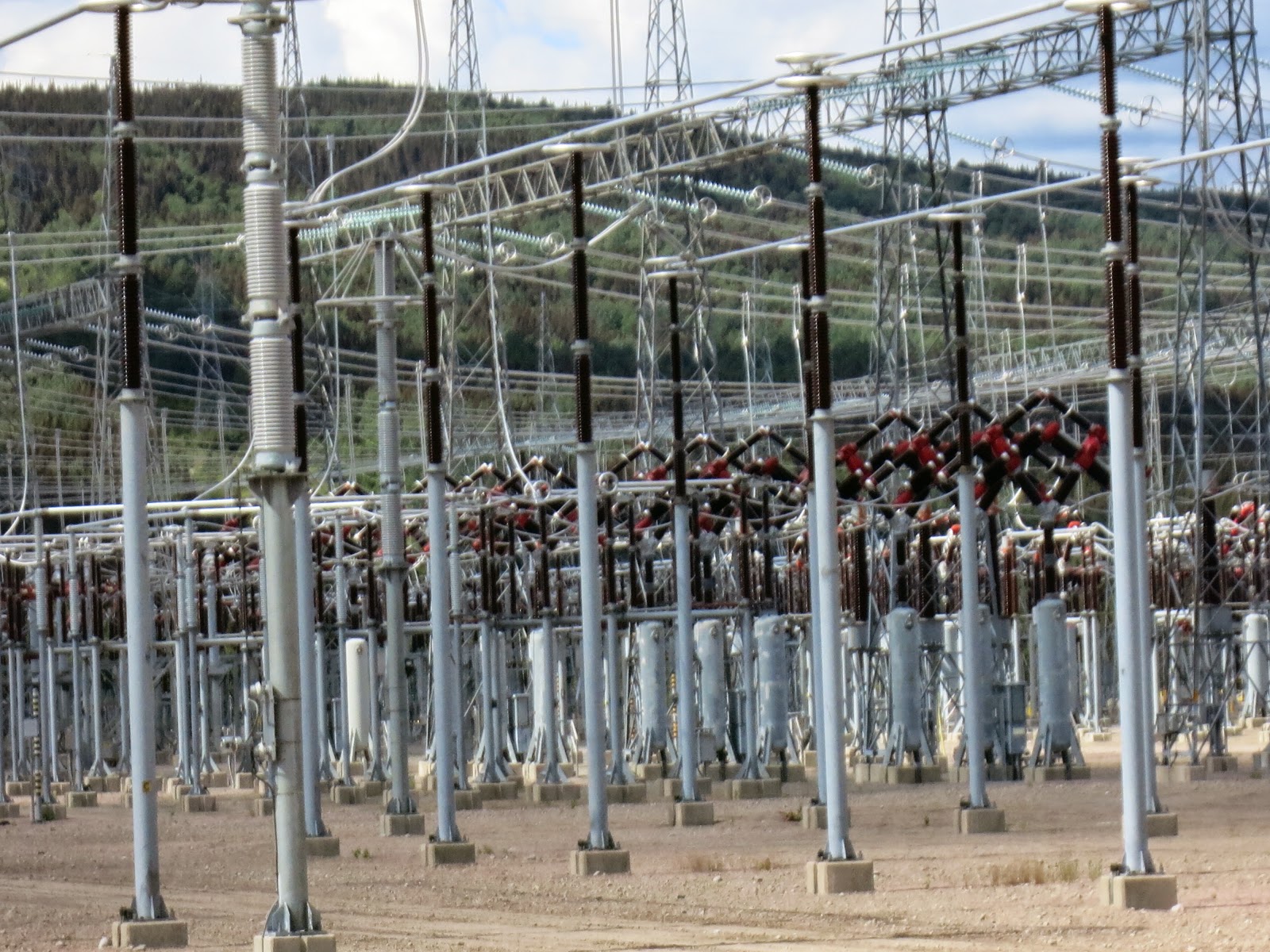
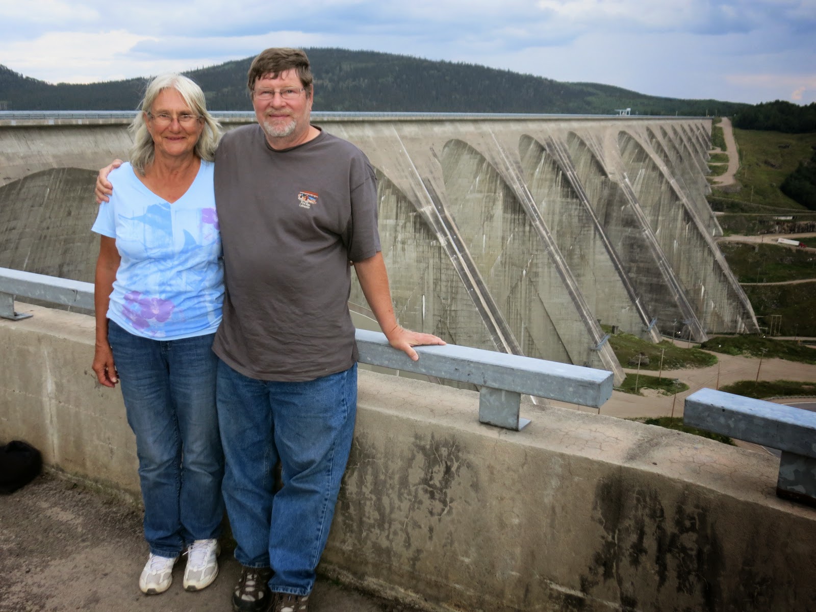
Next day we gassed up in Labrador City, (245 km) turned in our sat. phone in Wabash and soon were headed into Quebec Province.(23km) The road paralleled the Cartier Railroad and was paved. In the last part of our (550 km) TLH traverse we visited two of Hydro-Quebec's generating plants, visiting the dams and touring the facilities and then seeing the huge power transfer stations appear as we made our decent on the steep, winding 389 route to Baie Comeau on the St. Lawrence River estuary and Gulf of St. Lawrence.



 |
| Learning about the turbines at Churchill Falls where we stopped for a tour. |


Dan and I along with a small amount of other traffic had spent five days driving 1800 km or with other off-road stops we made, about 1120 miles. Now we will take a ferry to Laborador.

 |
| She was so adorable |
 |
| A travelong couple with their dog |


 |
| This is why some people go there-great fishing.. |

 |
| And in the winter, snowmobile treks and races! |
| TO THE GASPE' |
The St. Lawrence with its abundant wildlife is a joy to visit. The Laurient Channel on the north shore of the St. Lawrence is deep and supports whale migration and other large sea creatures. We were now on the south shore and making the stops below, as well as in the Forillon National Park.

The map shows the Gaspe' Peninsula on the east side where Forillon National Park borders the Gulf of St. Lawrence. There was not time to visit Bonaventure Island and there was rain as passed the area.
QUEBEC
A car ferry from Baie Comeau took us across the Gulf of St. Lawrence to the town of Matane where we traveled west on the Gaspe' Peninsula. We camped at Mont Louis Provincial Park. While driving there we saw many people fishing from the beach at night for mackerel that were apparently running. Next morning we were off to Forillon Park, driving a circle around the Gaspe' on route 132 and 20 into the city of Quebec to visit the walled city within the modern boundary.
QUEBEC CITY
Dan and I felt we were visiting a foreign country. The food was delicious. There were pastry shops on all the corners and fresh vegetables on display. We were glad for a change from fried fish and chips as on every menu in Newfoundland. People spoke French, drank wine, and in the walled city sat at cafe tables sipping good coffee overlooking the St. Lawrence River, where cruise boats and yachts were making their way in and out to the Gulf.
Most signs were in French which was a bit annoying as Canada has many provinces of English speakers. Flowers decorated balconies and people. We found ourselves reading captions and supplied menus in English, then attempting to order. We enjoyed the walled city very much. While the buildings were not so very old, we found the city reminded us pleasantly of our travel in Europe.
Here are some pictures from Quebec City.


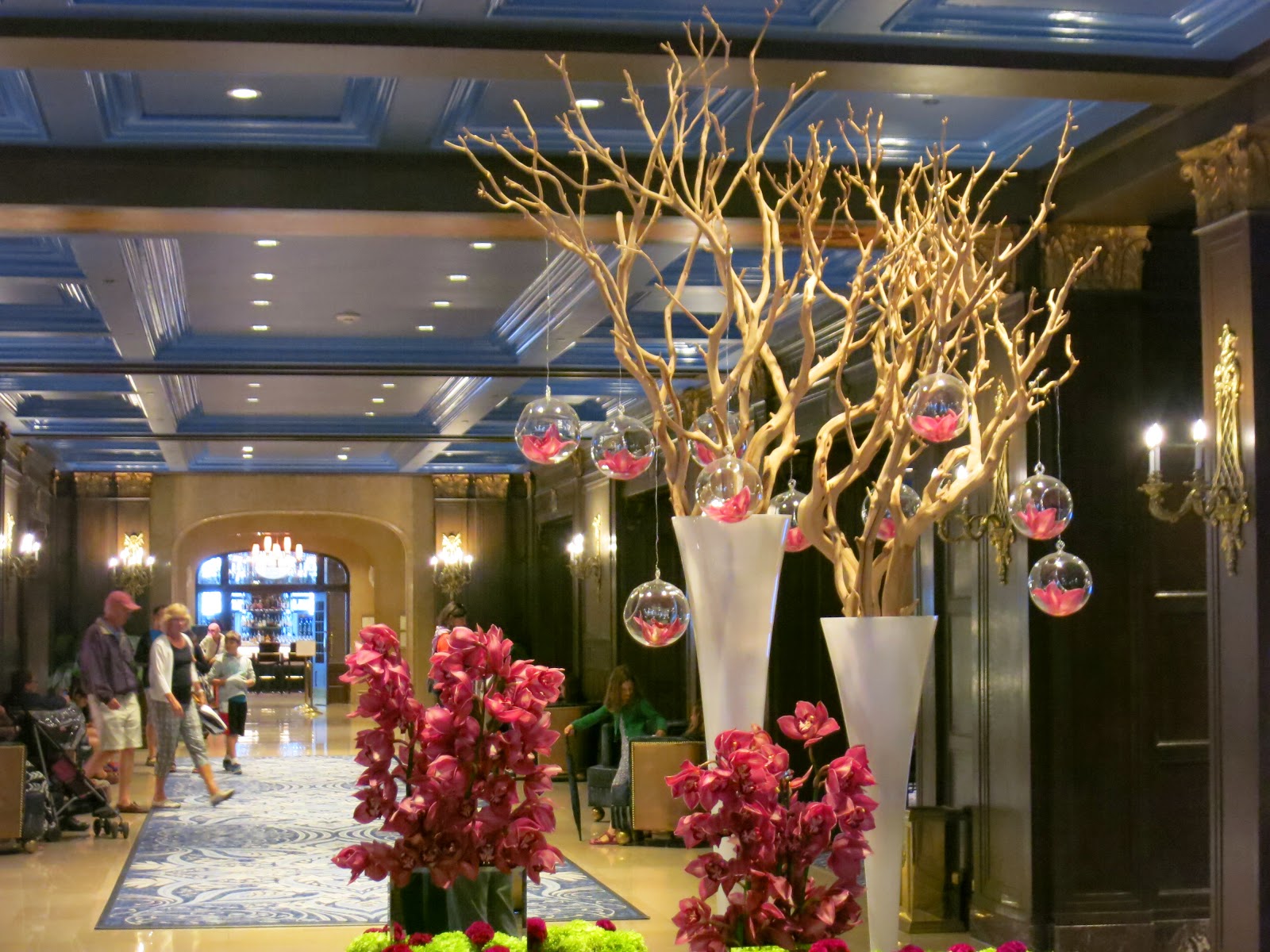


 |
| A place for dinner. So civilized after all that winderness travel. |
Our trip back to Massachusetts and then Ashville, North Carolina and Florida were fun also. After our grand daughter's birthday and our stop with friends to camp in Asheville we returned to Florida by the end of August.
BACK to MA The last part of our journey to Newfoundland and Labrador and Quebec was to the US border at Newport route 55 then through Vermont on route 91, a scenic and rural ride we are considering to ride by motorcycle- sometime!
Dan and I returned to MA and our granddaughter's first birthday party and in about a week, with one fun stop in Asheville, NC to visit boating friends as they camp hosted at a National Park, we returned to Florida.
We knew we were back to "sunny" florida when Dan drove us through a "welcoming" thunderstorm near Jacksonville, then hours more of rain before arriving- tired but safe at Sea Star.